-40%
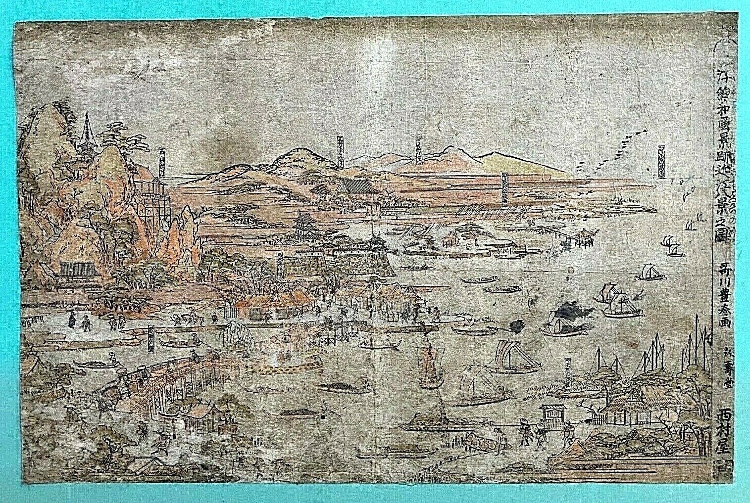
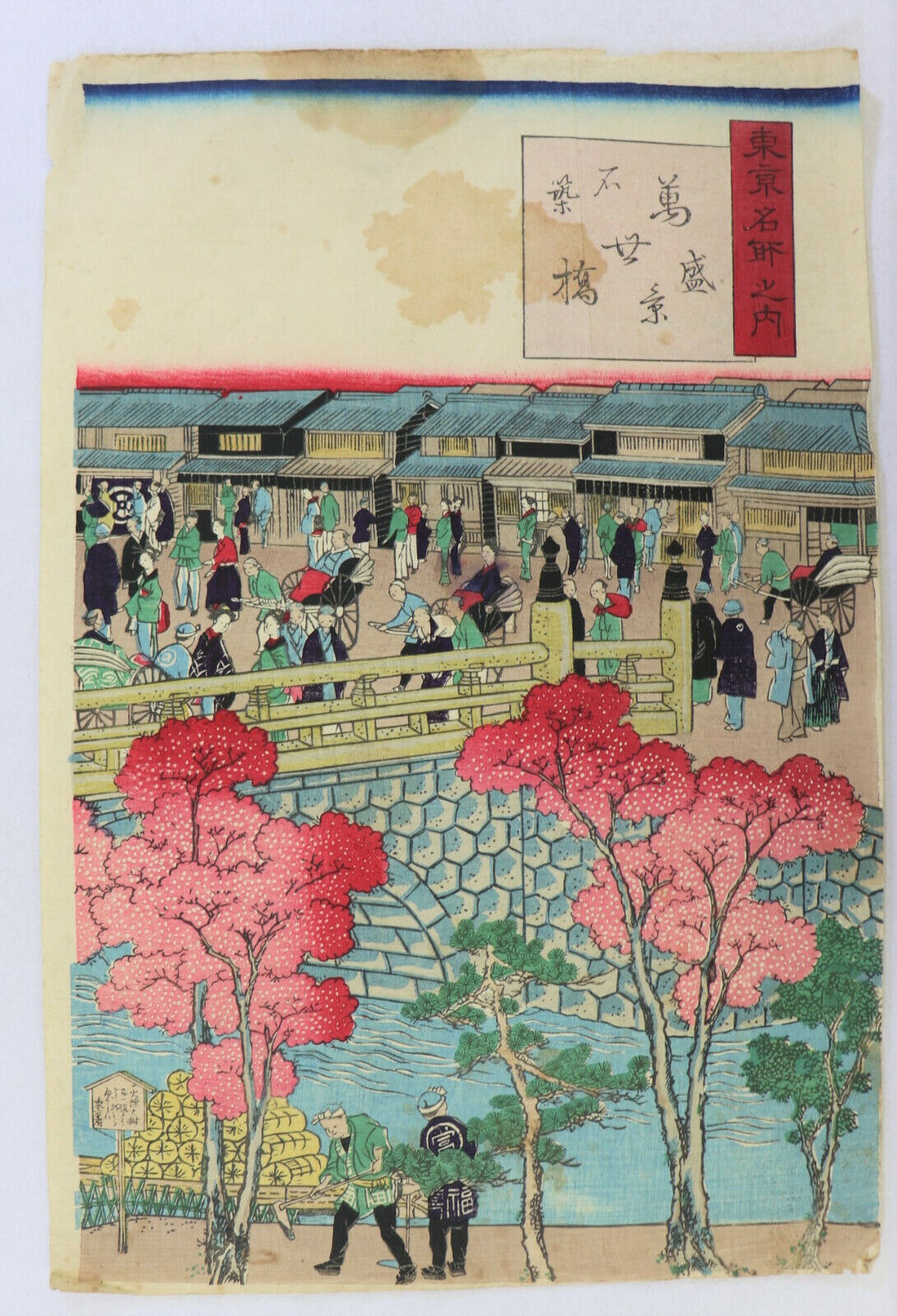
ORIGINAL - JAPANESE FEUDAL PERIOD WOOD BLOCK PICTORIAL MAP c1660's
$ 1055.47
- Description
- Size Guide
Description
ORIGINAL - JAPANESE FEUDAL PERIOD WOOD BLOCK PICTORIAL MAP c1660'sPossibly Created by :
Hishikawa Moronobu (b.1618 - d.1694)
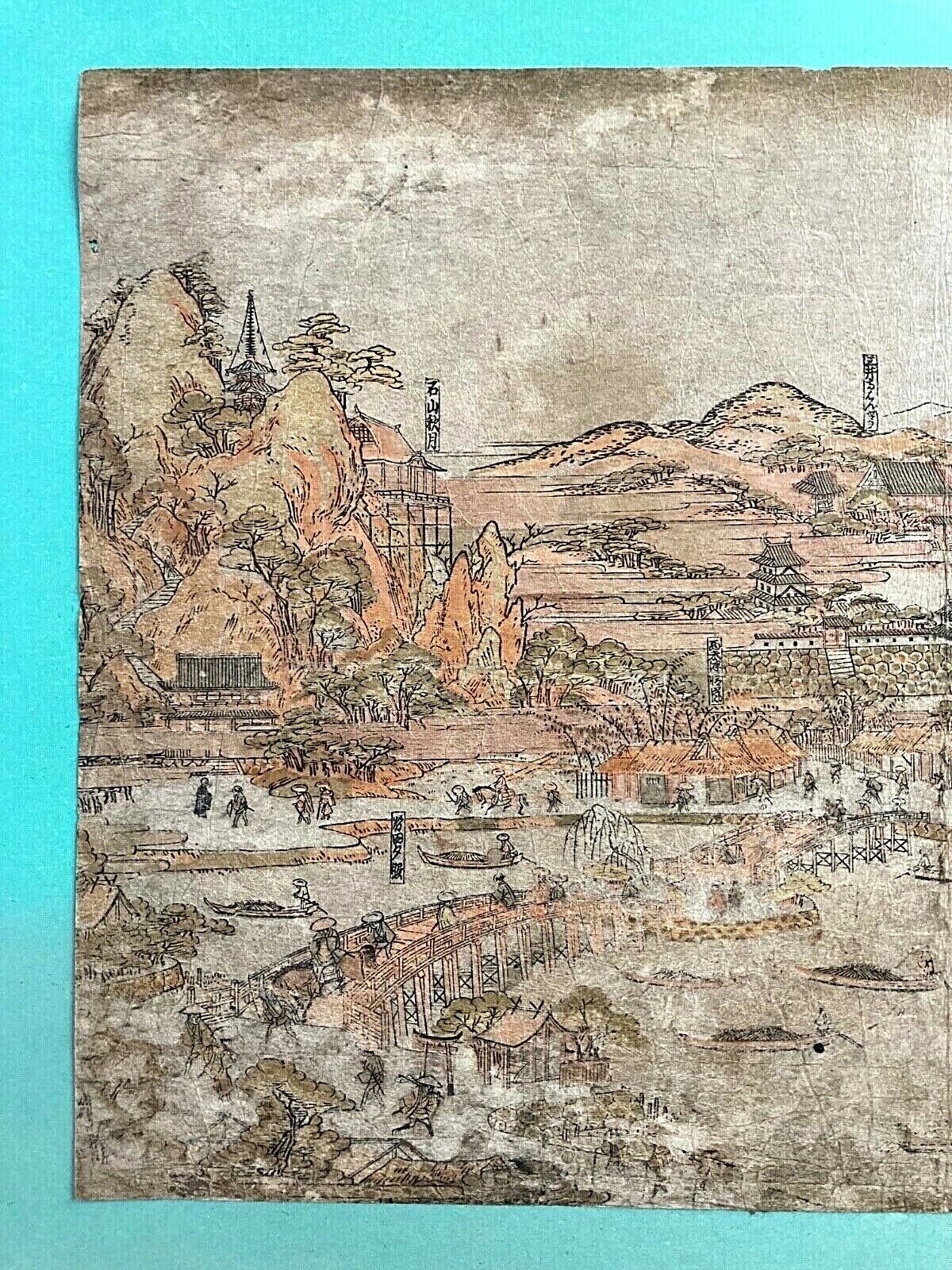
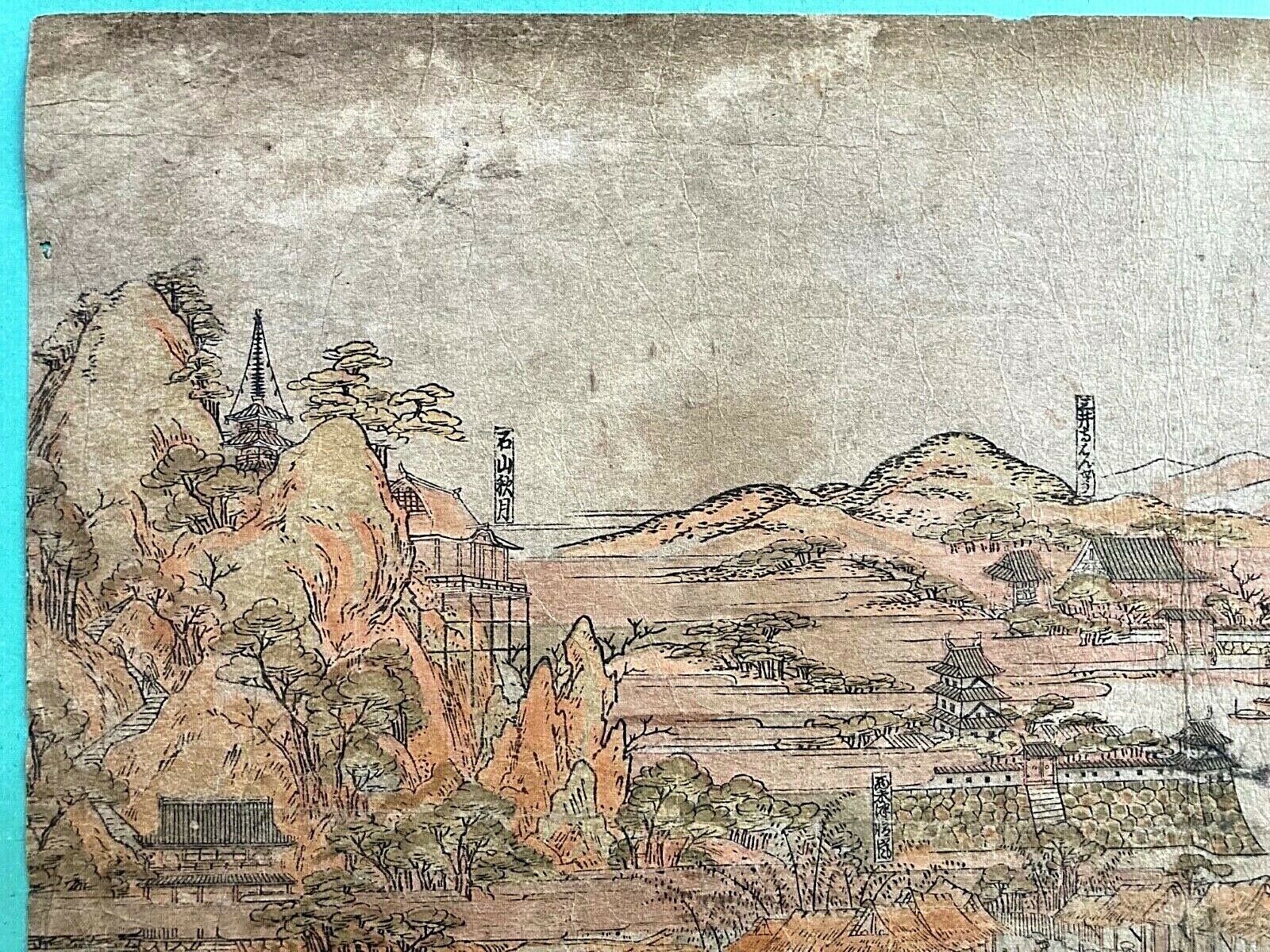
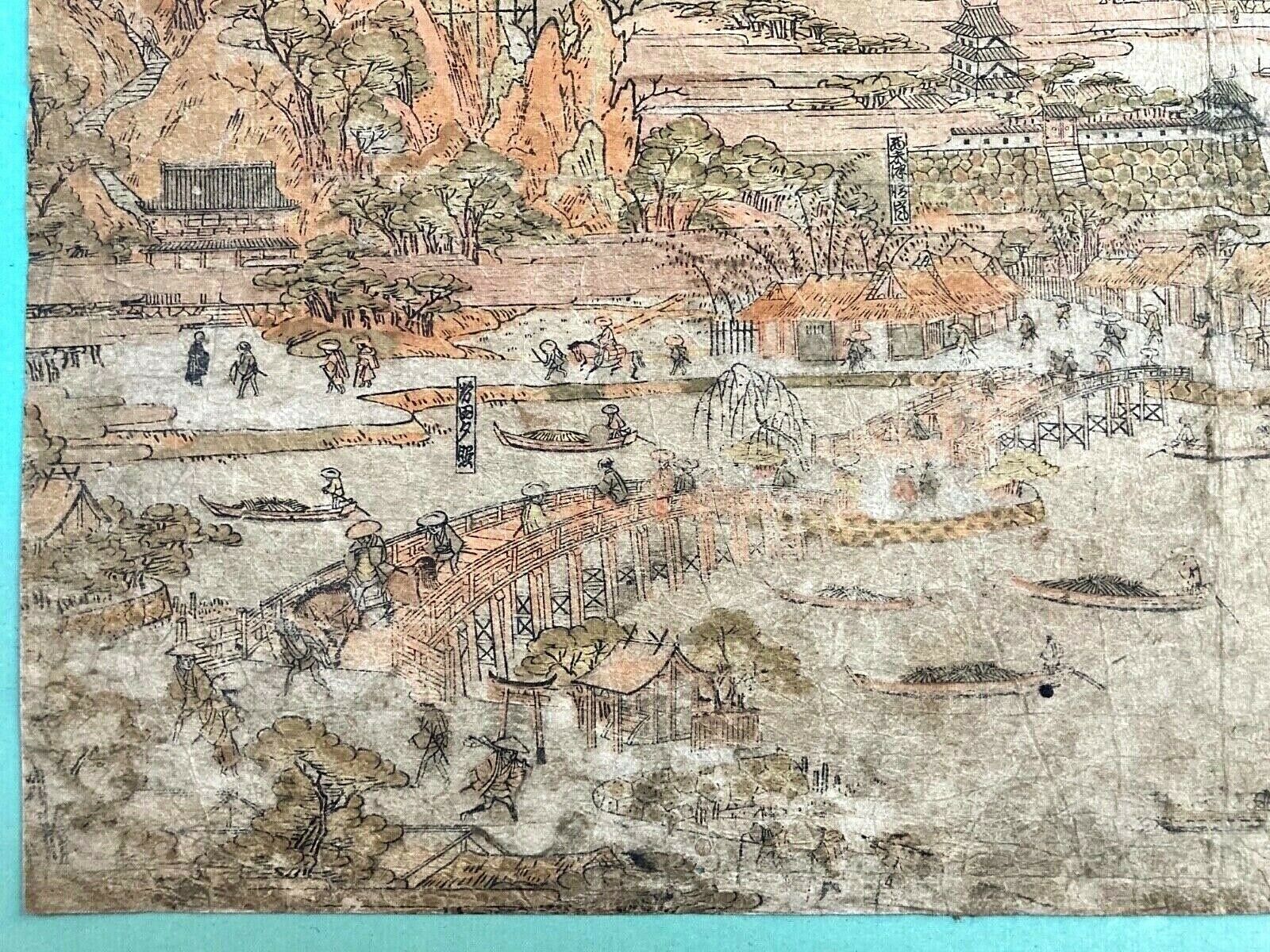
Spectacularly preserved Japanese Wood Block Pictorial View Map print on handmade rice paper. Unknown coastal region being mapped. Condition is very fine. Light damp stain on the reverse. Several small worm holes have been carefully patched decades
ago
on the reverse with tiny square rice paper period patches. A pictorial view of an important feudal coastal city of trade. Traditional feudal castle complex. Mountain areas in the distance. Japanese subjects in traditional dress. Many traditional commercial sailboats in the harbor and many sailing in line into the harbor laden with freight. Distant mountains. Traditional buildings. Overall a dramatic view with multiple regions of it being indicated by name in blocks. Very detailed. On the reverse, Japanese handwriting using a brush in black ink with a small stray touch on the obverse right center. Colors still bright. On the right front edge a larger set of Japanese words with a possible artist's name block.
Dimensions 14.5" x 9.625". Mounted with 2 small light rice paper hinges at the top edge to a larger green colored card paper of a more recent age of approximately mid
20th century that has the
dimensions
14" x 22".
PLEASE SEE MY 100% POSITIVE FEEDBACK AND BUY WITH CONFIDENCE.
